
VANCOUVER, British Columbia, November 19, 2020 (Newswire.com) - Transoft Solutions, developers of productivity-enhancing software and services for the civil, transportation, and aviation industry, has just announced the release of the latest version of GuideSIGN 8 suite of products with new and improved features for the quick and accurate design of roadway traffic signs, signing plans and pavement markings.
Built for designers and engineers, GuideSIGN has been the stalwart CAD software for creating traffic signs in a matter of minutes for government transportation agencies, AEC firms and local and city authorities since 1993. This release expands on the matters of safety, compliance and efficiency in the traffic control area for street improvement projects, road dieting measures and road restriping initiatives. With the new GuideSIGN Plus software, users can be confident that their projects will be delivered accurately – complying to standards – and on time. It is the only software of this kind to provide designers with a comprehensive solution to traffic control.
What’s New in GuideSIGN 8
The launch of GuideSIGN 8 sees new features for road and highway sign designing including:
- Updates to the latest federal requirements from the US (MUTCD 2009 with all supplements), Canada (TAC-ATC 2001 with updates) and Australia (AS 1744-2018).
- A new tool for placing French and Spanish accents within text offering a professional and finished look for sign design in Latin America, parts of the US, as well as French Canada.
- The ability to work directly within your CAD platform (e.g. Autodesk AutoCAD and Bentley MicroStation)
New features in GuideSIGN SIGMA and GuideSIGN Plus
The latest versions of GuideSIGN SIGMA, the dedicated traffic sign planning/markings software, and GuideSIGN Plus, the complete solution combining sign design and traffic planning, both have been updated with:
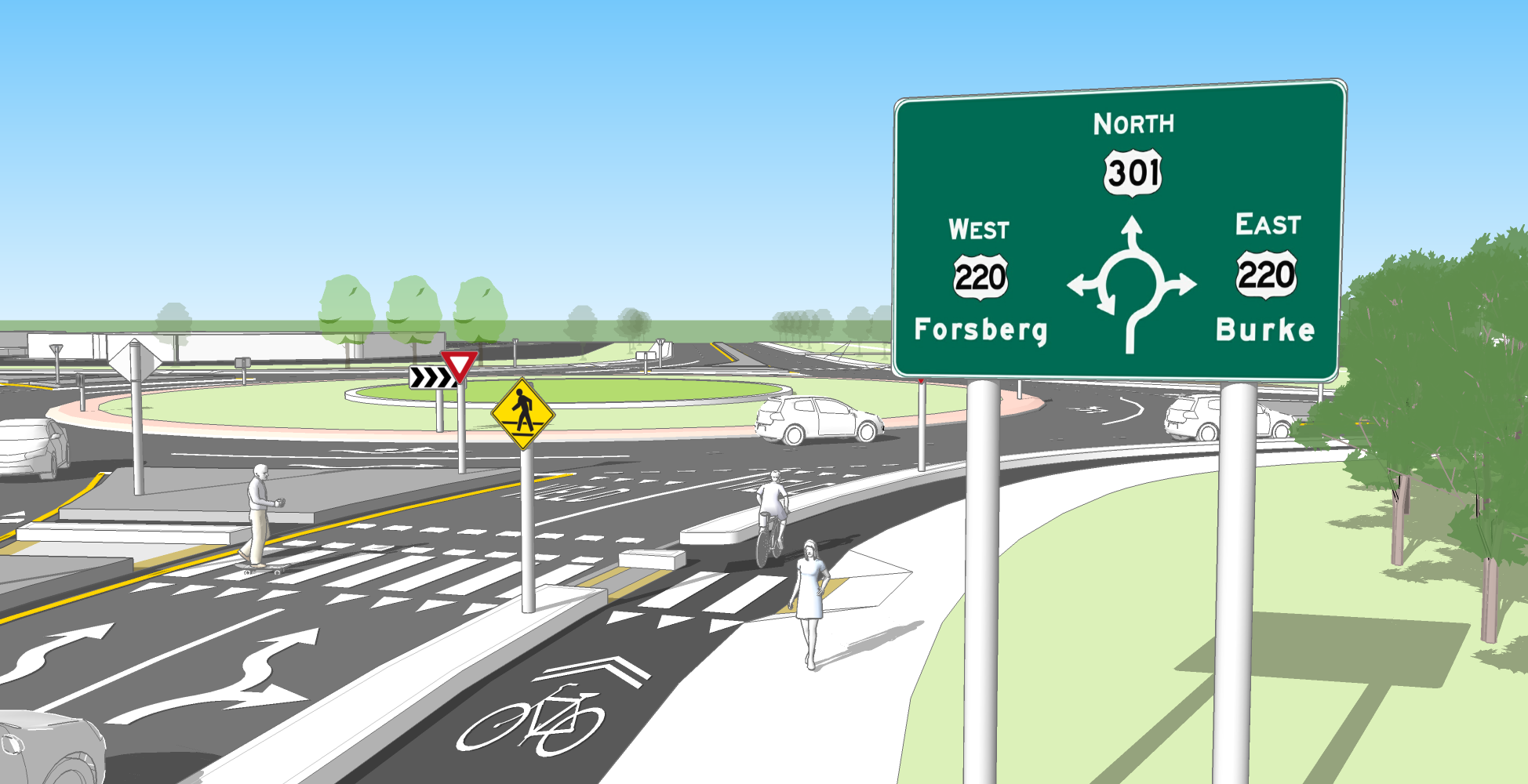
- A new pavement marking toolset with the ability to create traffic lane striping and markings using all types of lines, arrows, symbols and hatches – even markings associated with bus lanes, bus stops, cycle tracks, cycle lanes or cycle facilities can be drawn to support Green Transport Strategies.
- 3D viewing of signs, supports and GIS ready objects enabling better visualization and safety audits.
- A new template system which allows for placing multiple signs in a sign plan based on pre-set geometry and standards – ideal for temporary traffic control plans.
- Customizable and flexible annotation for creating the labels on the sign facing.
“GuideSIGN 8 represents another major advancement and support for our customer base. We’ve listened to their feedback and their need to push their levels of productivity and reduce turnaround time on their road sign designs,” said Elizabeth Hofbauer-Spitzer, Senior Transportation Engineer at Transoft Solutions. “Our family of GuideSIGN software does what no other product on the market can do in sign design, sign planning and pavement marking capabilities. By ensuring compliancy to set standards and removing the inefficiencies of the tedious manual design cycle, GuideSIGN saves design time which reduces costs for projects.”
Media Contact:
Andrew Yang
Phone: 1.604.244.8387
Email: ay@transoftsolutions.com
Source: Transoft Solutions
Share: